
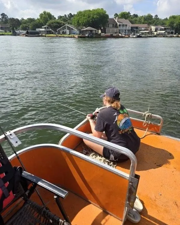
Lake Conroe Water Level: What It Means
A simple guide to Lake Conroe water level, conservation pool, rain, ramps, shoreline cover, and fishing plans.
Lake Conroe water level affects more than a number on a gauge. It can change shoreline cover, ramp feel, boat lanes, shallow hazards, muddy runoff, and where fish are comfortable. The lake can still fish when the level is up or down, but the plan should change with it.
The number to know: 201 feet
The San Jacinto River Authority lists Lake Conroe's conservation pool level as 201 feet mean sea level, with lake level data provided by USGS station 08067600. Water Data for Texas showed Lake Conroe at 98.7% full on July 6, 2026, with a mean water level of 200.72 feet and conservation pool elevation of 201.00 feet.
That snapshot is useful, but it is not permanent. Lake level changes with rainfall, releases, evaporation, and upstream runoff. Before a weather-sensitive trip, check the current lake level instead of relying on a number someone saved last week.
What lower water can change
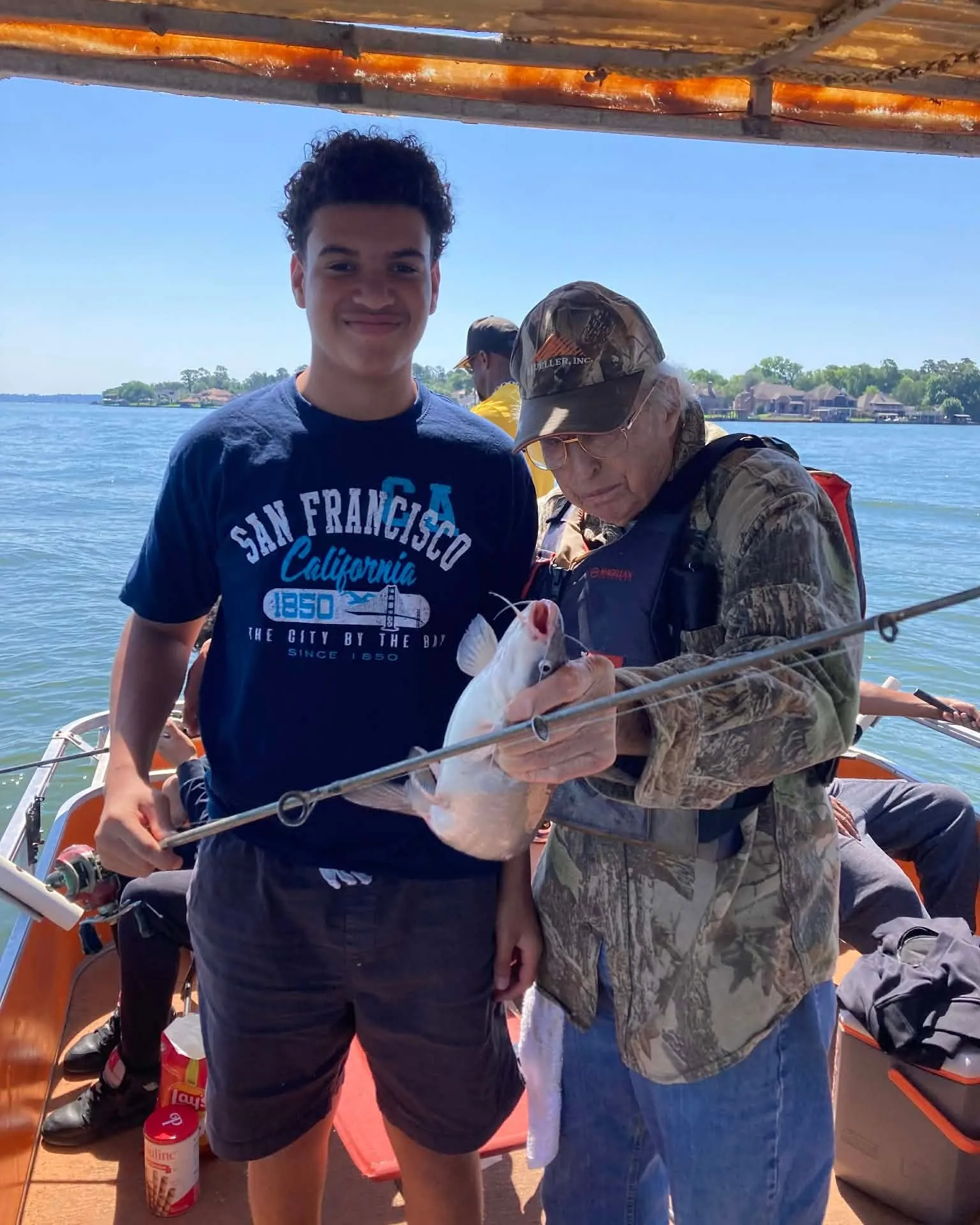
When the lake sits below pool, shallow cover may become less useful, some banks may fish differently, and certain approaches can feel tighter. Lower water can also make anglers more cautious around stumps, shorelines, and shallow cuts. The fish are still in the lake, but the places worth trying may shift.
For families, the practical question is simple: will the lake level affect comfort, safety, or the kind of fishing you want to do? A local guide can answer that faster than a visitor staring at a gauge number without context.
What high water and fresh rain can change
High water and recent rain can bring new shoreline cover into play, but they can also bring muddy water, floating debris, stronger movement around drainage areas, and changing ramp conditions. After heavy rain, the question is not only how high the lake is. It is where the cleanest, safest, most fishable water is likely to be.
The San Jacinto River Authority manages the Lake Conroe Dam and Spillway, and its public condition updates are a good place to start when storms have moved through. For trip planning, Billy's local read matters because different parts of the lake can respond differently.
How to check before you go
Start withWater Data for Texasfor the current level, percent full, and recent history. Then check theSan Jacinto River Authorityfor Lake Conroe operations context when weather is active.
If the number looks unusual, call before you assume the trip is off or perfect. A good guide can explain what the level means for ramps, fish targets, and the kind of day your group wants.
What it means for a guided trip
Guests do not need to become water-level experts. They just need someone who knows how the lake fishes when the water changes. Billy can adjust the target species, starting area, timing, and expectations so the trip is built around the lake you actually have that day.
That is the business value of a guide: fewer guesses, fewer wasted moves, and a better chance that the group spends the day fishing instead of troubleshooting.
Frequently asked questions
What is Lake Conroe's normal pool level?
The San Jacinto River Authority lists Lake Conroe's conservation pool level as 201 feet mean sea level.
Does a low lake level stop fishing trips?
Usually no, but lower water can change shoreline cover, ramp conditions, boat lanes, and where fish hold. A local guide can adjust the plan.
Where should I check the current Lake Conroe level?
Use Water Data for Texas or the San Jacinto River Authority's linked USGS gauge before making boating or weather-sensitive plans.
Ask what the lake level means today.
Call Billy before the trip so the plan fits the current water, weather, and target fish.
Related posts
Lake Conroe Fishing Pier: What to Know Before You Go
A practical guide to Lake Conroe fishing piers, public access, private marinas, shore-fishing plans, rules, and when a boat is the better fit.

Lake Conroe Fishing Report: What to Check Before You Go
A practical Lake Conroe fishing report guide covering lake level, weather, fish, safety, and how to plan a better day on the water.
Lake Conroe Depth Map: How to Read It Before Fishing
How to use a Lake Conroe depth map, understand contour lines, check the current lake level, and make a safer fishing plan.