
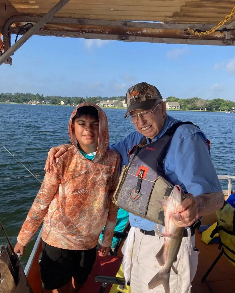
Lake Conroe Depth Map: How to Read It Before Fishing
How to use a Lake Conroe depth map, understand contour lines, check the current lake level, and make a safer fishing plan.
A Lake Conroe depth map can make a big lake feel easier to understand before you ever back a boat down the ramp. It shows the bottom shape that sits below the surface: broad flats, creek channels, points, steeper breaks, old river paths, and areas where a small move can change the water beneath the boat.
That does not make a depth map a promise of fish or a substitute for safe navigation. It is a planning tool. Used with the current lake level, weather, and a realistic target species, it helps anglers make better first choices. Used by itself, it can lead visitors to mistake an old survey line for a live fishing report.
Start with the official Lake Conroe contour map
The most useful public starting point is the Texas Water Development Board's 2020 Lake Conroe contour map. It came from the agency's hydrographic survey program, which surveys reservoirs to document the shape and capacity of the lake. The map labels contours from 140 through 200 feet and uses Lake Conroe's 201-foot conservation pool elevation as its reference.
That reference matters. A contour line is an elevation, not a guarantee that the water above it is the same depth every day. If the lake is below conservation pool, the water over a given contour will be shallower than it would be at 201 feet. If the lake is higher, the relationship changes again. Read the map as a picture of the lake bottom, then check the actual lake level before treating it as a depth number.
The official map is especially useful because it is a survey document, not a decorative lake print. It gives you a broad view of the lake's underwater layout. It does not tell you which side of a point has bait today, whether a cove is comfortable in the wind, or whether a line on the map is safe to run at speed.
What the contour lines are telling you

Contour lines connect places at the same elevation. When the lines are far apart, the bottom usually changes gradually. When they pull close together, the bottom changes more quickly. That can point to a steeper bank, a creek edge, a channel swing, a hump, or another transition worth understanding before you choose where to fish.
For anglers, the useful question is rarely, "Where is the deepest hole?" Fish do not live at one magic number all year. A better question is, "Where does the bottom give this species a practical route between shallow water, deeper water, cover, and food?" A map can help you spot those changes. The actual conditions decide whether they are worth fishing today.
Look for areas where a flat meets a break, where a creek channel approaches a point, or where a protected cove gives way to more open water. Those are starting ideas, not secret spots. The Lake Conroe area guide explains why wind, cover, traffic, water clarity, and the fish you want to catch can make one type of water a better choice than another.
Check the current level before you rely on the map
Before a fishing or boating day, use Water Data for Texas to check Lake Conroe's current level and how it compares with the 201-foot conservation pool. The site also provides recent trend information and an interactive map viewer, which is more useful for a day-of plan than an old screenshot saved to a phone.
A small change in lake level does not erase the value of a contour map. It does change how you should read it. A 200-foot line is one foot below the 201-foot conservation pool. When the lake is below pool, water over that area is less than one foot deep. That may be a place to avoid, a place to approach slowly, or simply a reminder to use better current navigation information before making any move.
The Lake Conroe water-level guide covers the practical side of that number, including ramps, shoreline cover, muddy runoff, and why the lake can still fish well when the level is not exactly at pool. The map tells you the shape. The current level helps you understand the margin.
Use depth to make a fishing plan, not to force one

A depth map becomes useful when it helps narrow down a sensible starting area. For example, a family looking for a comfortable morning may care more about a protected section of water and a simple target species than about running to the deepest part of the reservoir. An experienced bass angler may want to understand a point, channel edge, or change in bottom shape before matching it to the day's weather and bait activity.
Different fish use depth differently. Catfish may relate to channels, bait, and depth changes. Crappie can use cover and vertical structure. Bass may use shade, docks, points, or nearby depth, depending on the conditions. White bass and hybrids can follow bait in open water. The Lake Conroe fish guide is a good next step when you are choosing the right target for the people on the boat.
A map cannot tell you whether the fish moved overnight, whether the wind makes an area rough, or whether a pattern is too technical for a first-time group. It can still save time by helping you understand why a guide might start in one kind of water and then move when the fish or weather say it is time to change plans.
Read channels, points, and flats as a connected picture
A map is easier to use when you stop looking at one contour line at a time. Look at the nearby water as a connected picture. A channel may curve close to a point, a flat may taper into deeper water, or a small creek arm may give fish a route from shallow cover toward a larger break. Those relationships are often more useful than one isolated number.
Points are worth noticing because they can create a natural change in direction, depth, wind exposure, and bait movement. A point that reaches toward a channel can look very different from a point that fades slowly into a broad flat. Neither is automatically better. The weather, current conditions, and fish species decide which kind of transition is worth checking first.
Flats deserve the same patience. A flat may look uninteresting when you only search for deep water, yet a nearby ditch, patch of cover, or break can give fish a reason to use it. For people fishing Lake Conroe for the first time, the value of the map is learning to see these options before arriving, not trying to fish every promising shape in one afternoon.
What a depth map cannot show
A contour map does not show live baitfish, water color, floating debris, current wind direction, boat traffic, or whether a dock owner has moved a brush pile. It cannot tell you whether a recent storm muddied one creek arm while another part of the lake stayed clearer. It also cannot tell you which cover is reachable or fishable for the experience level of the people in your group.
This is why copying a pin from an online post is rarely a complete plan. The same spot can fish differently from morning to afternoon, before and after a front, or at a different water level. A map can help you understand why the spot looked sensible. It cannot replace the on-the-water decisions that make it work, or the judgment to leave it when it does not.
Pair the contour map with the Lake Conroe weather guide, the current lake level, and the kind of trip you want. That combination gives you a better starting point than a depth number alone, especially when you are planning around children, guests, heat, wind, or a limited amount of time on the water.
Depth contours are not a safe-navigation chart
Treat a public contour map as a planning reference, not a license to run unfamiliar water. Lake Conroe has changing water levels, submerged cover, traffic, weather, and areas that require care. A survey also reflects the conditions and methods used when the survey was made, not every change that has happened since.
If you are boating, use current navigation equipment, obey markers and local rules, keep a proper lookout, slow down when conditions call for it, and never assume a contour line shows every hazard. The Texas Water Development Board notes that its lake surveys identify the current bottom surface of a reservoir for survey purposes. That is valuable information, but it is not a substitute for real-time judgment on the water.
Visitors without their own boat can still use the map. It makes the size of Lake Conroe easier to understand and shows why a guide's local decisions matter. The Lake Conroe map and area guide is helpful for getting oriented to the towns, roads, coves, and broad layout before you choose how to spend the day.
A simple way to use the map before your trip

Start by choosing the kind of trip you want. Are you bringing kids? Looking for a relaxed first outing? Hoping to learn bass fishing? Wanting to target a species that can keep the group engaged? That decision is more useful than trying to pick the deepest contour on the map.
Next, check the current lake level, weather, wind, and any official notices that apply to the day. Use the contour map to see the larger structure around the part of the lake you expect to fish. Then keep the plan flexible. A good day on Lake Conroe is often about making smart adjustments, not proving that the first pin on a map was right.
If you have your own electronics, compare the map with what you see at idle speed rather than expecting the screen to match every line perfectly. Use it to confirm the larger shape of the water and to stay aware of changing depth. If you do not have electronics, keep the map as a planning aid and focus on the comfort, safety, and simple fishing goals that fit your group.
If you are visiting, fishing with beginners, or simply do not want to spend the day learning the lake by trial and error, a guided trip removes much of that guesswork. Billy can match the target, starting area, pace, and equipment to the actual lake and the people in the boat.
Frequently asked questions
Where can I find an official Lake Conroe depth map?
The Texas Water Development Board publishes a Lake Conroe contour map from its 2020 hydrographic survey. It is a useful public reference for seeing the survey contours, but it should be paired with the current lake level and normal boating judgment.
How deep is Lake Conroe?
The official contour map shows elevation contours from 140 to 200 feet, measured against Lake Conroe's 201-foot conservation pool. A contour map is better for understanding shape, channels, breaks, and relative depth than for assuming one exact depth at every spot today.
Does a Lake Conroe depth map show where fish are?
No. A depth map shows bottom shape, not a live fish report. Weather, water level, wind, bait, season, boat traffic, and the species you want to catch all affect where fish may be on a given day.
Should I use a depth map for boating on Lake Conroe?
A contour map is helpful for planning, but it is not a substitute for current navigation information, marked hazards, a proper chartplotter, local knowledge, or safe operation. Conditions and water level can change the margin around shallow areas and submerged cover.
Use the map to ask better questions.
Call Billy to turn the lake level, weather, and contour map into a fishing plan that fits your group.
Related posts
Lake Conroe Bank Fishing: Access, Timing, and Tips
A practical Lake Conroe bank fishing guide covering public access, timing, simple tackle, safety, rules, and when a boat makes more sense.
Where to Fish Lake Conroe: A Practical Area Guide
A practical guide to choosing Lake Conroe fishing areas, from coves and cover to open water, bridges, weather, and a better trip plan.

Lake Conroe Crappie Fishing: A Practical Guide
A straightforward Lake Conroe crappie guide covering seasons, cover, tackle, family trips, current rules, and how a local guide helps.